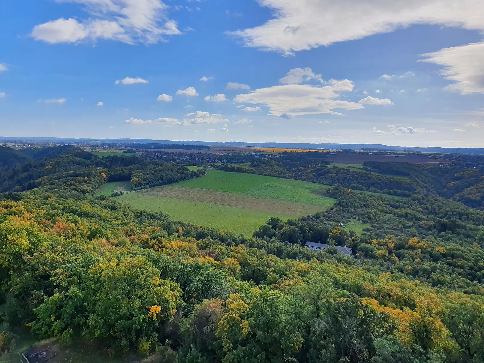
First field campaign at Oppidum Závist successfully completed
From October 5 to 14, 2022 the first (geo-)archaeological field campaign took place at the "Celtic" Oppidum Závist southwest of Prague within the framework of a three-year research project funded by the Bavarian-Czech University Agency (BTHA). The field work was organized by project leads Till Sonnemann and Katja Kothieringer, assisted by five students from Bamberg University, while the Czech side participated with three students from Charles University under supervision of the Czech project lead Daniel Bursák from the Czech Academy of Sciences. In consistently good weather, both non-invasive, geophysical measurements with ground penetrating radar and (minimally) invasive, archaeological-soil-scientific drilling and excavation were carried out. Spatially, the focus of the activities in the almost 120 ha large hilltop settlement with several consecutive fortification ramparts was on a forested section directly below the acropolis as well as on the "outer bailey" at the foot of the hill, which today is characterized by meadow vegetation and arable farming. In contrast to the partly very steep slopes of the central oppidum, which has been interpreted as a place of retreat, the people settled in the outer bailey for a longer period of time in the Iron Age performing agriculture.
The aim of the pilot campaign was to test the ground-penetrating radar method on different, (un)forested areas and to gain an impression of the topography-dependent, (pre-)historical sediment displacement by means of prospecting and excavation. This could be realized successfully: fieldwork and initial evaluations reveal covered, potential archaeological structures at certain sites and sediments (colluvia) displaced in the course of past soil erosion, the chronology of which is now being further investigated using various analyses such as radiocarbon dating (14C) and Optically Stimulated Luminescence (OSL) dating. How different areas inside and outside the ramparts were used in prehistoric times - and even later in the Middle Ages - will be shown by geochemical analyses, some of which can be carried out at the Czech Academy of Sciences in Prague as part of the research cooperation. The interdisciplinary project will be continued over the next two years in the context of further field campaigns and the results will be discussed at workshops alternately in Bamberg and Prague and presented at international conferences.


